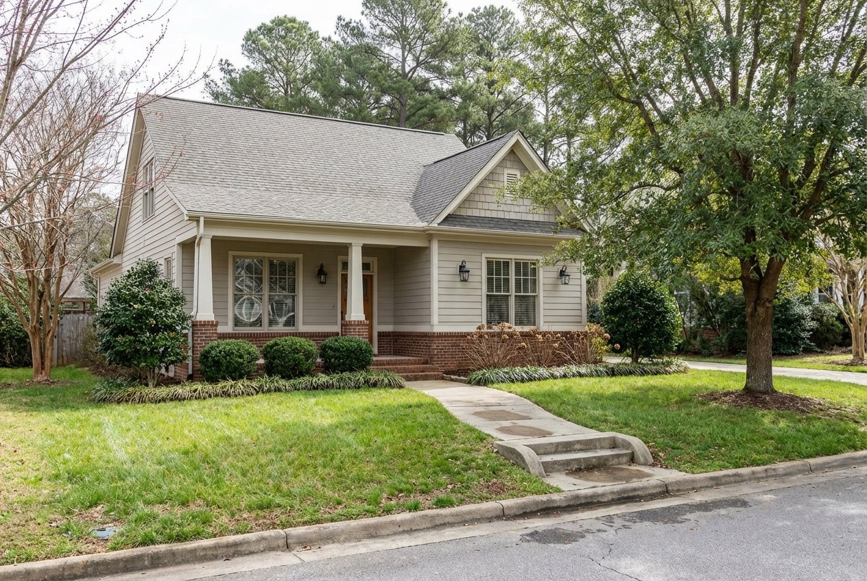
Looking at a few acres near Asheboro and not sure where the property lines really are? You are not alone. In Randolph County, fences, tree lines, and old stories can be misleading. A good survey helps you verify boundaries, spot easements or encroachments, and plan your build or investment with confidence. In this guide, you will learn which survey to order, what problems to watch for, typical costs and timelines, and the local steps that reduce risk before you close. Let’s dive in.
What a survey does for you in Randolph County
A property survey gives you the exact location of your land’s legal boundaries. That is critical in Randolph County where many rural parcels were described by older metes and bounds or old plats, and corner monuments may be missing. A survey brings clarity before you buy or build.
Here is what a current survey can help you do:
- Confirm boundary lines and corners so you know what you are buying.
- Reveal encroachments and easements that affect access, utilities, and building locations.
- Support lender and title insurance requirements for acreage or investment deals.
- Inform site planning for septic, wells, setbacks, and stormwater.
- Reduce closing risk and prevent disputes after you move in.
Local note: Some rural tracts rely on private driveway easements or informal access. Properties on state roads may also need North Carolina Department of Transportation approval for driveway access. A survey helps you understand where legal access exists.
The survey types explained
Boundary survey
A boundary survey finds or sets the legal corners and measures the lines between them. It will also show visible improvements near those lines, like fences or driveways. This is the typical first survey for most buyers and is essential for rural parcels or when siting a new home.
When to order: If you are buying land or planning to build, start here. If you suspect a boundary issue, a boundary survey helps you see it early.
ALTA/NSPS land title survey
An ALTA/NSPS survey follows national standards and addresses title matters, easements, access, and improvements in detail. Lenders often require this level for larger acreages, commercial properties, or investment purchases where the title policy must reference survey data.
When to order: If you are financing acreage or want the most complete picture of title impacts, ask for an ALTA/NSPS survey that meets the current standard.
Topographic survey
A topographic survey maps contours, elevations, trees, streams, and other features. It is valuable for planning buildable areas, grading, and drainage.
When to order: If the land is sloped or you are planning grading, stormwater work, or need elevation data for septic and well placement, add a topo.
Mortgage or location survey
This is a basic sketch showing improvements in relation to deed lines. It is often used for lender awareness on standard residential purchases.
When to order: If you are buying a typical home in town, a lender may accept this. For acreage or investment property, it may be too limited and can miss important issues.
Subdivision or lot survey and final plat
This survey is used to create or split lots and is prepared to meet county subdivision rules. It shows dimensions, rights-of-way, and dedications.
When to order: If you plan to subdivide or if you are buying a newly created lot, make sure the survey and plat comply with Randolph County requirements.
Construction staking and as-built
Construction staking places markers for planned building locations. An as-built survey later confirms that the improvements match the plans.
When to order: Order staking before you build. Get an as-built when work is complete and you need verification for permits or lenders.
Which survey to order in Asheboro
- Larger rural lots: Start with a boundary survey. If you plan to build, consider adding topographic information.
- Financing or investor purchase: Confirm lender needs early. If a title policy will rely on the survey, require an ALTA/NSPS.
- Subdividing or developing: Make sure your surveyor prepares what Randolph County needs for platting and permits.
A simple rule helps: match the survey to your risk and your plans. If you are investing more money or changing the land, choose a more detailed survey.
Encroachments and easements: what to watch
Encroachments
An encroachment is any physical intrusion across a property line. In rural Randolph County, this can be a shed that overlaps a neighbor’s land, a fence set inside or outside the legal line, or a driveway that crosses a boundary.
Practical impact:
- You may need to remove or relocate structures.
- You might negotiate an easement or boundary line agreement.
- Lenders and title insurers may require a fix before closing.
Easements and rights-of-way
An easement gives someone the right to use part of a property for a specific purpose. Common local examples include utility lines, private driveway access, and road or NCDOT easements. Some long-standing uses can raise questions about prescriptive rights under North Carolina law, which are fact-specific.
Practical tip: Do not rely on informal use or old paths. Use a survey to identify recorded easements and consult a local title professional if unusual use patterns appear.
Title insurance and your survey
Your survey can reveal issues that title companies need to address. A title policy may require certain survey items to be cleared or may need a specific survey type like an ALTA. If a problem appears, you can negotiate a cure before closing.
Fixing problems before closing
If your survey uncovers an encroachment or access conflict, you have options:
- Negotiate a new easement or license with a neighbor.
- Record a boundary line agreement to clarify ownership lines.
- Relocate the encroaching structure.
- Arrange indemnity or escrow to address future claims.
- As a last resort, consider legal action with guidance from a North Carolina real estate attorney.
Timing, costs, and who to hire
When to order
Order your survey during due diligence so results can guide your decision. Include a survey contingency in your offer and set enough time to review findings. If your lender may require an ALTA/NSPS, confirm that early to avoid delays.
Who to hire
- Licensed land surveyor in North Carolina. Verify licensure with the state board that regulates surveyors and engineers.
- Randolph County Environmental Health for septic site evaluation and permits when needed.
- A local real estate attorney to help interpret survey findings or draft easements.
Typical timelines
- Small boundary survey: a few days to a few weeks, depending on the surveyor’s schedule and research needs.
- Larger tracts or ALTA surveys: 2 to 6 weeks or longer, especially if monuments are missing or title history is complex.
Cost ranges and drivers
Costs vary by acreage, terrain, tree cover, and complexity of the deed and easements. Deliverables such as plats or digital files, and whether you require ALTA standards, also affect price.
- Small residential lot boundary survey: low hundreds to around $1,000.
- Rural acreage with woods or slopes: often $1,000 to $3,000 or more.
- ALTA/NSPS surveys: commonly $1,000 to $5,000 or higher based on size and complexity.
Get written quotes from multiple licensed surveyors in Randolph County and ask how they handle research, missing corners, and easement locations.
A practical checklist for Randolph County buyers
- Ask the seller for any past surveys, recorded plats, and the current deed with the legal description.
- Review the parcel map and any recorded plats through Randolph County GIS and the Register of Deeds. Treat GIS as a helpful preview, not a substitute for a field survey.
- Order a current boundary survey during due diligence. If you are financing acreage or want title policy reliance, request an ALTA/NSPS.
- If you plan to build, add topographic information or ask the surveyor to include contours and a suggested building envelope.
- Review the survey for encroachments, recorded easements, road access, and setbacks that affect your plans.
- Confirm septic and well needs with Randolph County Environmental Health and verify related setback requirements.
- If the survey reveals problems, involve your title company and a local real estate attorney to resolve issues before closing.
- Record the survey or plat if required and ask your title company about adding needed endorsements to your policy.
Local resources that help
- Randolph County Register of Deeds: Review recorded deeds, plats, and easement documents.
- Randolph County GIS and Planning/Inspections: Check parcel maps, subdivision regulations, and setback or permitting rules.
- Randolph County Environmental Health: Coordinate septic site evaluations and permits for on-site wastewater systems.
- North Carolina Department of Transportation: Confirm driveway access requirements for state-maintained roads.
- North Carolina licensing board for surveyors and engineers: Verify that your surveyor holds an active license.
- Local title companies and real estate attorneys: Get guidance on title insurance requirements and curing survey issues.
Make your next step easy
If you are weighing a land or acreage purchase around Asheboro, getting the right survey at the right time can save you money and stress. Our team helps you set smart contingencies, connect with trusted local surveyors, and coordinate title, septic, and access checks so you can move forward with confidence. Ready to talk through your plans and timeline? Reach out to Pam Robbins to get started.
FAQs
What is the best survey for buying acreage near Asheboro?
- For most rural purchases, start with a boundary survey and add topographic details if you plan to build. If a lender or title policy will rely on the survey, request an ALTA/NSPS.
How soon should I order a survey during due diligence?
- Order it as early as possible within your due-diligence period and include a survey contingency so you can negotiate or walk away if the results reveal problems.
What if the survey shows a neighbor’s fence over the line?
- You can consider removal, relocation, a boundary line agreement, or a negotiated easement. Coordinate with your title company and a local real estate attorney before closing.
Can a county GIS map replace a survey in Randolph County?
- No. GIS is a helpful planning tool but it does not replace a current field survey that sets or verifies corners and documents encroachments or easements.
Do lenders require ALTA/NSPS surveys for land loans?
- Many lenders require an ALTA/NSPS for larger acreages, commercial sites, or investor purchases, especially when the title policy must reference survey findings.
How much does a land survey usually cost here?
- Small lots can be in the low hundreds to around $1,000, rural acreage is often $1,000 to $3,000 or more, and ALTA/NSPS work is commonly $1,000 to $5,000+ depending on complexity.
Who verifies that a surveyor is licensed in North Carolina?
- Check with the state board that licenses surveyors and engineers in North Carolina to confirm your surveyor’s active status.
What local offices help with septic, setbacks, and access?
- Randolph County Environmental Health handles septic evaluations, Planning/Inspections covers setbacks and permits, and NCDOT confirms driveway access for state-maintained roads.